Participate in the search for new impact craters thanks to the Vigie-Cratère participatory science program! This innovative platform, open to all, allows us to explore the relief of our planet to identify discrete or invisible circular structures on satellite imagery. This citizen science program, available in French and English, allows as many people as possible to learn more about impact processes and to help scientists better reconstruct the history of collisions with the Earth.
Vigie-Cratère was conceived by two impact researchers, Sylvain Bouley (GEOPS, Université Paris Saclay/CNRS) and David Baratoux (IRD, UMR GET) and developed as part of the Vigie-Ciel programme run by the Muséum National d’Histoire Naturelle and in partnership with the Observatoire de Paris, Universcience, the Université Grenoble Alpes and the Institut Pythéas.
Since the beginning of the 20th century, more than 190 impact structures have been discovered on our planet. Their number is constantly increasing and there are undoubtedly many impact structures to be discovered on the surface or hidden in the subsoil. On the surface, the majority of craters larger than 6 km in diameter have probably been discovered, but dozens of craters between 1 and 6 km in diameter and perhaps a few hundreds of craters with diameters less than 1 km.
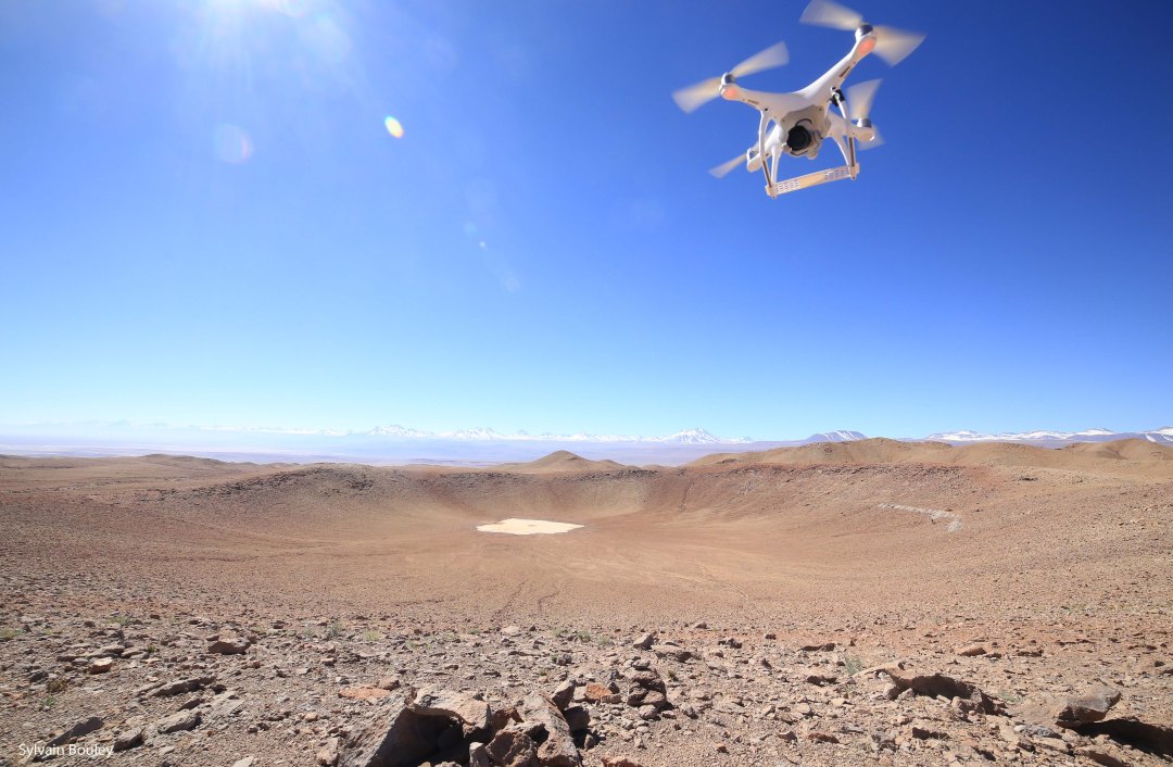
Vigie-cratère offers a new interface and research protocol based on topographic data (shaded relief) that can highlight discrete or invisible circular depressions on satellite images. For all the structures identified, explorers will be able to vote on their potential origin (impact, volcanism, etc…) based on satellite images and topographic data provided. Vigie-cratère also proposes to enrich current knowledge on potential structures by collecting photos of the terrain (landscape, rock) during a stay nearby. This data will be useful in deciding on a dedicated scientific mission.
A discussion forum is also planned to encourage interaction between participants and to discuss the data collected and preliminary results. In order to search for new impact craters, 200,000 50×50 km shaded relief images with a resolution of 90 m based on SRTM data covering the surface of the continents are submitted to participants for analysis. A tutorial helps each participant learn to recognize a circular depression from the shaded relief images. The Impact Structure Explorer can delimit the identified structures and then submit them to the vote of the other participants. The voting module allows participants to give their opinion on the nature of the structures identified. The list of structures is made available online to all participants on a 3D globe. For each structure, the participant has access to topographic and satellite images of the structures, a summary of votes, a forum to discuss with other participants the nature of the structures and photos of the structure and rocks collected and shared by the participants.
The results obtained through this international platform are made available to all researchers wishing to study the identified structures and develop research programs around impact. Scientific publications should involve explorers who have contributed to the identification of the circular structure whose origin is confirmed, in a model of professional-amateur collaboration.
Contacts : david.baratoux@ird.fr ; sylvain.bouley@u-psud.fr
